IQGeo was pleased to host a webinar with TELUS exploring the operational benefits of geospatial network asset visibility during disaster and emergency scenarios. As one of the largest telecoms network operators in Canada, TELUS provided operational insights on disaster assessment and response that can benefit both telecoms and utility network operators.
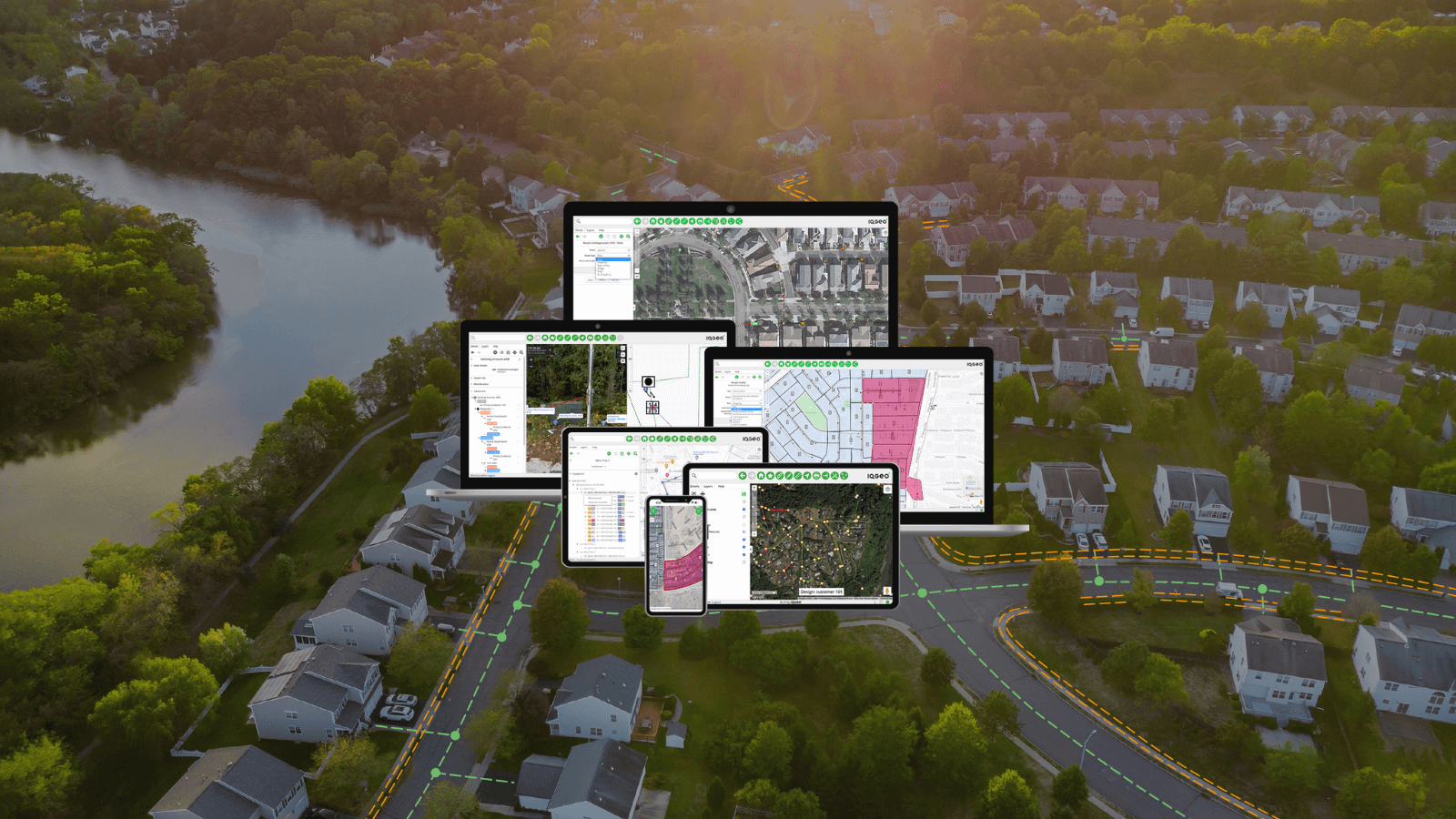
TELUS became an IQGeo customer in 2015 and has gone on to integrate 15 applications with more than 350 layers into the IQGeo Platform, deploying it to over 8,000 users across their enterprise. Faisal Vishram, the Senior Technology Architect at TELUS, was one of the masterminds behind this organizational rollout to provide a current and accurate view of their network assets to everyone that needs it. They have gone on to integrate OSS, BSS and publicly available disaster response information to create an operational geospatial dashboard that allows stakeholders across the company to quickly visualize rapidly changing emergency situations to make fast and informed operational decisions.
This approach from TELUS allows them to get ahead of severe weather and disaster conditions and proactively mitigate unfolding situations to ensure the safety of their customers and employees while maximizing network uptime. The TELUS use case is focused on telecoms network operations, but the principles of proactive asset visibility apply equally well to utility network operators.
Given the impact of Covid-19 on telecoms and utility operators, the IQGeo team were particularly pleased that Faisal took the time to share his strategy and experience of creating a dynamic geospatial asset visibility dashboard.
TELUS asset visibility webinar
- Geospatial asset visibility strategy
- Disaster response and planning for wildfires
- Covid-19 pandemic response
During the webinar Faisal provided details on their IQGeo Platform deployment and how teams from sales to engineering benefit during normal operations, but also explain two specific disaster response and planning case studies.
Wildfires
The first happened shortly after their initial deployment when wildfires raced across industrial and residential areas served by their network. As the fire spread, the TELUS team was able to quickly integrate publicly available data sources into the IQGeo Platform to chart the progress of the fires and the impact on their network. Satellite hotspot data allowed them to develop a proactive response plan to get their damaged network back online quickly. They collaborated with the local electric utility to provide field engineering teams using the IQGeo mobile application with accurate geospatial and asset information to prioritize rapid repairs.
Covid-19
The second scenario presented by Faisal was much more recent as TELUS planned their response to the Covid-19 pandemic. They investigated how they could ensure that hospitals and health facilities did not face network bandwidth restrictions that could put important public health systems and individuals at risk. Collaborating with local health authorities they identified the location of key medical facilities and assessed network coverage and strength to increase service capacity where needed. Within hours they repurposed a sales tool they developed on the IQGeo Platform to mitigate coverage risk and proactively deploy mobile cellular units to increase coverage where needed.
Questions for the audience
During the webinar we asked the attendees two pole questions related to mobile geospatial functionality for field teams and the integration of publicly available disaster response data feeds into a geospatial dashboard. The results from both questions provided some insights into the geospatial capabilities of the webinar attendees.
Are you using digital maps on mobile devices for your field teams?
52% Yes
30% No
18% Not sure
Somewhere between 30 – 48% of attendees do not have digital maps deployed for their mobile field teams. This may mean that they are still relying on paper maps, documents, and spreadsheets to perform essential network maintenance, construction, and repair activities. As seen in the TELUS use cases, the lack of current and accurate digital maps for field crews impedes productivity and seriously compromises disaster assessment, planning and response activities.
Have you integrated publicly available disaster response data into a geospatial view of your network assets for field users?
3% Yes
69% No
28% Not sure
Only 3% of attendees to the webinar were aware that they are integrating publicly available disaster response data into a geospatial view of their network. This is surprisingly low and illustrates how much additional benefit can be gained by having a geospatial platform that enables rapid data source integration for collaboration across other public service operators.
Don’t miss the TELUS webinar
Whether you work for a telecoms or utility network operator, the TELUS webinar is well worth a 45-minute investment in your time. Faisal Vishram provided an excellent overview of the network asset visibility strategy that the TELUS team have created with the IQGeo Platform. They are a great example of how to improve productivity and collaboration using IQGeo’s mobile-first, open architecture to create a single source of network truth for day-to-day operations and disaster response scenarios. Check out the TELUS webinar today!

CMO at IQGeo
Similar articles:


 Previous


