When electric utilities need to perform their most common, high-volume work like connecting new customers and members, swapping assets like poles and transformers, and extending lines, they encounter numerous time-consuming obstacles that create backlogs in their work.
Obstacles to efficient electric grid operations
- Dependence on older, desktop-based solutions
- Inaccurate asset data
- Marking up paper maps
- Manual data entry
- Repeat trips to the field
- Lengthy data transfers between multiple teams and systems
To meet today’s demanding requirements for both your customers and internal systems, there must be a better way. And in fact, there is.
Field design and digital staking
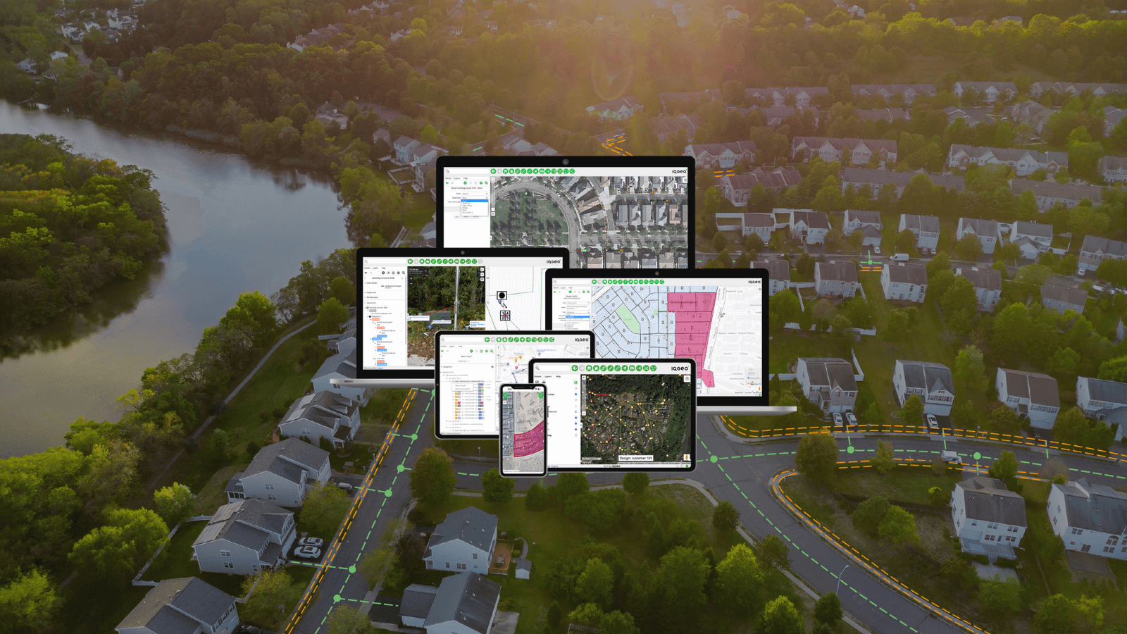
IQGeo’s Network Manager Electric provides a flexible, streamlined approach: field design and digital staking. Our single application for field users enables your teams to view and edit GIS data from the field, online or offline. We enable designers to digitally stake the assets location with your external GPS, while accounting for your utility’s equipment standards and building out the connectivity model.

IQGeo team demonstrating field design and digital staking
In the steps below, we detail how Network Manager Electric transforms traditional design workflows for any electric utility.
Step 1: Locate and designate
Today, designers will stake a design in the field and draw that design on paper. The next step is manual entry into a back-office system, either by themselves or by handing off a sketch to an admin tech. Engineers then apply these locations as work points in the GIS. With Network Manager Electric, a field designer can easily stake digitally – including GPS locating, guy wire details, and precise distance and angle designations – and do so immediately. The data entries from the field will update the system of record. This includes all points, features, connectivity details, and compatible units. Design managers can then quickly review the design package with matching work order and then move it to the next step in your utility’s process.
Step 2: Estimate
Accurate and timely costs are critical as well. Instead of asking engineers to create a bill of material (BOM) and then share that manually with accounting and warehouse staff, Network Manager Electric automatically generates a BOM for any new design using your utility’s compatible units. Designers can share that digitally with procurement and any other team. All the network design data is accurate and accessible in a shared user experience.
Step 3: Validate
As-builts have traditionally been one of the most time-consuming aspects of a new network design. A construction crew notes any as-built changes on a staking sheet print, takes it back to the office for handoff to an admin tech, and the updates are entered manually. This often involves multiple truck rolls before the process is complete. Then accounting makes manual updates, all before the designer can move the project to “as-built” state. Through Network Manager Electric, construction crews take the BOM and construction packets to the field. They can then update designs directly on tablets and have the data available to all office staff.

The electric grids of the future
Modern grids are simply too complex and the amount of work too high to continue depending on office work, manual updates, and disconnected systems. Whether starting a new design or confirming as-builts, IQGeo integrated mobility, and precise, geospatial-based digital tools will change the way you approach network design.

Matt Roberts (Author) explaining digital work execution at Distributech
If you’re interested in seeing the industry’s best field-based design solution for electric utilities, please contact us.

 Previous