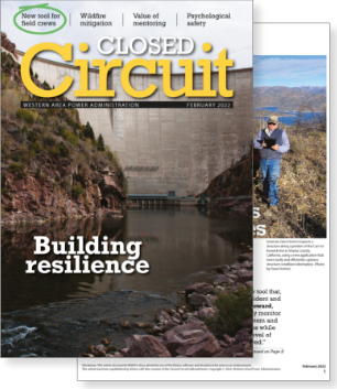
Reprinted article for WAPA’s Closed Circuit magazine

of electric transmission lines
hydro power plants
U.S. Department of Energy power marketing administrations
[The solution] enables us to more effectively monitor the health of our transmission system and efficiently react to condition issues while continuing to maintain the high level of reliability we have always achieved.
Kevin Howard, Executive Vice President and Chief Operating Officer at WAPA
The IQGeo geospatial software is used by field employees to record transmission line condition and any vegetation or right-of-way concerns as they conduct annual ground and aerial patrols of WAPA’s 17,000+ miles of line.
The IQGeo mobile inspection software provides a consistent approach for transmission line component inspection. Everybody can use the same inspection criteria and rating system, which produces consistent health and risk scoring. And with that comes a way for WAPA to better prioritize transmission line projects across the region.

“We’re exponentially reducing the time it takes to do each inspection and, when talking about more than 100,000 structures, it all adds up.”
Plan, design, build and operate intelligent telecom, fiber and utility networks with IQGeo’s AI-powered geospatial software.
See it in action!Copyright © 2026 , IQGeo Group. IQGeo is a registered ® trademark