A Geographic Information System (GIS) combines the power of a map with the power of data to allow people to create, manage and analyze information, with geospatial perspective. For telecommunications, electric, gas and water utility network operators this geospatial relationship is especially important to be able to create, manage and maintain their networks. A GIS typically contains information on the assets and resources that exist within telecoms and utility networks.
A GIS is sometimes referred to as GIS software, GIS technology, GIS mapping software, desktop GIS or as the “System of Record” (SoR).
Conceived more than 20 years ago, legacy desktop GIS takes a cartography-centric approach that was designed to create paper maps. Built before the proliferation of mobile devices and applications like Google Maps, these legacy systems are rooted in centralized, monolithic, fat clients with large complex, proprietary databases, and applications.
Complex to manage, desktop GIS software was engineered for 5% of the workforce that are specialized GIS professionals, sitting in the back office controlling operational processes. This centralized approach is simply no longer viable because it cannot deliver a current and accurate network view that is essential for the digitally connected telecom and utility networks of the future.
Telecom and utility operators today manage networks that are more complex and decentralized than ever before. With the creation of 5G and smart grids we are constructing some of the world’s most complex, distributed “machines” ever imagined. This means that operators are now forced to deal with numerous rich information systems across their enterprise, each with specialized tasks or applications that usually require skilled professionals to curate each data area. These include systems for managing customers, network assets, inventory, workforces, processes and many more. A GIS is another one of these many data resources, where the main “asset” is the geospatial position of a record and asset connectivity. In this way, GIS proponents often position it as a kind of information hub, because most data can be represented geographically in some way, via a coordinate, an address, or other spatial reference.
All this technology is essential for managing our increasingly complex network machines, but it frequently leads to a plethora of applications and “experts” with siloed information that makes for inefficient operations with often conflicting or out-of-date information. The search for consolidated access to disparate information is as old as information itself (the difference between data and knowledge). Geospatial technology finds itself in a privileged position by representing data in a uniquely compelling and powerful way, showing us the spatial relationship between previously disconnected information which enables human beings to rapidly review, understand, and take action.
At IQGeo we believe in the power of geospatial technology, but it must go far beyond the concept of “enterprise GIS” as a centralized solution. For any solution to be successful with today’s, and tomorrow’s, complex network requirements it must be focused on the network itself (not the GIS) and bring together applications, data, and workflows into an easy-to-use “single pane of glass” for all stakeholders across the organization.
We explore this topic further in a recent blog post 'Managing your network through a single pane of glass'
Telecom and utility network operators are dealing with a multidimensional set of challenges that are impacting virtually every aspect of their business. This includes a rapidly changing competitive landscape, growing customer expectations, increasing regulatory oversight, new network technology, and an evolving workforce.
With so many variables at play, it has become clear that the technology and processes developed 20-30 years ago are simply no longer workable. Legacy GIS that was intended to provide a map-based System of Record does not provide the data quality, currency and collaboration needed for next generation networks. To take companies forward and continue to meet revenue, cost, and safety KPIs, many network operators are embarking on major digital transformation initiatives, redesigning their back office System of Record into a field focused System of Action.
While this challenge can be daunting, it also creates tremendous opportunity to rethink strategies and relationships. Using modern mobile- first, geospatial software organizations can now visualize, capture and take practical action to transform operational processes across their entire network lifecycle.
IQGeo turns the GIS legacy model upside down with a System of Action approach that empowers field crews and office staff to easily monitor, capture and edit network information anywhere, anytime. An optimized and living digital twin of the physical network assets that is integrated with business-critical applications and data streams creates a single source of truth realized through a powerful geospatial view across enterprise planning, design, construction, maintenance, and sales processes.
Unlike the software from legacy vendors that is focused on their centralized GIS and uses process-heavy architecture dependent on highly specialized engineering resources, IQGeo’s solutions are focused on your network. Empowering field and office staff to easily monitor, capture, visualize and manage geospatial network assets without specialized training. We deliver an end-to-end solution with measurable ROI that increases productivity and collaboration throughout the entire organization and across the operational lifecycle. Achieving this vision demands flexible software technology that enables network operators to:
With IQGeo, you can flexibly and efficiently model any network requirement, today or in the future. Our game-changing geospatial network software is optimized for telecom network operators and the new challenges you face. The solution scales to support future network models, new regulations, evolving technologies and changing data needs.
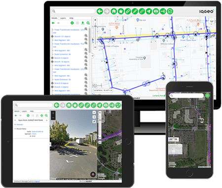
With IQGeo, you can integrate every data source and internal system into a single geospatial view. Every member of your team can use the same solution, building better collaboration and streamlining processes and data lags – including real-time updates from field crews.
IQGeo enables field teams to identify and document data in real time, in the office or the field, more effectively than ever. The solution works online or offline to optimize work execution regardless of conditions. From the right system architecture to more powerful configuration, customization and administration, IQGeo gives you the mobile solution for the networks of tomorrow.
IQGeo provides telecom and utility network operators with the industry’s most flexible geospatial solution to manage rapidly evolving requirements and scenarios from a single shared platform. We help you consistently realize value from your network by enabling you to continually evolve your processes, integrations, and scope. Your network technology and business priorities are constantly changing so you need a network management solution that can rapidly pivot and evolve to meet your needs while delivering value every day.
Having access to accurate geospatial data in the field, where the action happens, is vital for telecom and utility engineers and contractors, providing a current view of the network assets dramatically streamlines processes and empowers field teams to capture the reality on the ground, improving data quality.
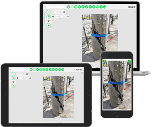
The only way to prevent "data rot" is to give the field the mobile tools they need to capture data quickly and effectively on any device, online or offline. Field teams are willing to capture data as long as it is easy and quick to update back-end systems. Taking a photo to highlight an issue or identify a change on a map and associating it with an asset is simple to do with a modern geospatial platform. This as-built information creates a dynamic and accurate System of Action that can optimize operational processes and improve collaboration between departments and applications.

Telecom and utility network reliability, safety and emergency response depends on efficient field operations that creates dependable network data, and this network data can only be kept current is through a "Field Sourcing" process that captures the most current network data. Our most successful customer deployments are with those changemakers within network operators that see the direct business benefits to creating a positive and engaging "field experience" for their remote mobile teams. They don’t tolerate legacy GIS systems built for workstations that have been poorly adapted for field users because they know they won’t be adopted by field crews and widespread adoption is essential to process transformation.
Jay Cadman, SVP Enterprise, explores each of these key features in more detail in a blog post ‘Don’t field forget about the field teams’.
Because mobile geospatial systems are so critical to your success, it’s important to ask potential vendors the right questions about their mobile capabilities. You cannot assume that just because you have a GIS in your utility or telecommunications office that it easily extends to the field. This is illustrated by the fact that many of the major legacy GIS vendors all have very different architectures for their mobile solutions. Simply web-enabling a back office GIS interface will fail to achieve field acceptance since it is far too complex and has not been designed with the very specific needs for field teams in mind.
The other failed approach is to put the burden of field mobility onto their customers by forcing the use of third party products or delivering SDK’s that require companies to create, deploy and support their own mobile solutions on proprietary platforms.
With 170 detailed questions and supporting notes, IQGeo has produced an RFP template in an Excel format that will help you think through the various components of a successful mobile geospatial solution. You can use this template to inform the creation of your own mobile RFP in order to choose a long-term partner who understands your business challenges and has a mobile-first approach that addresses your long-term requirements.
Many key business processes in telecoms and utility companies depend on access to accurate and up-to-date geospatial data about network assets. Providing key stakeholders with self-service data access, where and when they need it, transforms what can be achieved by an organization. It improves productivity and collaboration, accelerates restoration times, improves safety, and enhances customer service. Usability is vital to achieving this transformation. Without wide-spread technology adoption, access to information often requires the involvement of technical specialists, which creates significant process bottlenecks and crippling data gaps.
While legacy GIS companies may sometimes talk about “GIS for all”, their typical approach is to force their customers to build their own “simple” applications using proprietary development tools.
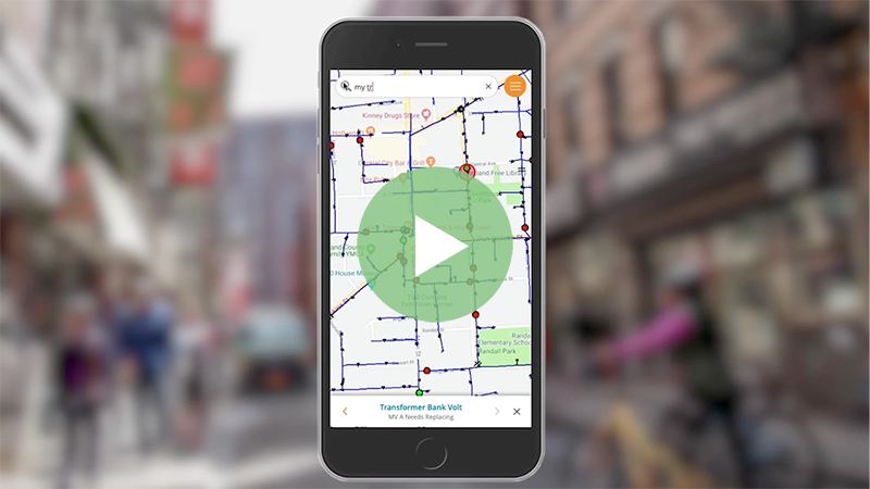
Usability is especially critical for field workers as they need to be focused on the job at hand, so it’s understandable that they are so intolerant of applications that are not easy-to-use. IQGeo has extensive experience in designing mobile apps for field users and achieve excellent adoption with field staff and contractors. Visit the video library to see how easy it should be for field workers to capture and edit data in the field

After a recent system rollout, comments from end users included:
Having great usability is especially critical when improving work with contractors and responding to emergencies, in both situations, having access to geospatial software that doesn’t need special training to use makes the difference between success and failure.
Read our blog post to learn more about the importance of usability in geospatial software.
Given the high cost, complexity, and risk with implementing and upgrading some of the legacy GIS products in the market, such as the Esri Utility Network, telecoms and utilities owe it to themselves to evaluate alternatives, rather than being resigned to a complex and expensive rollout or migration.

At IQGeo we have completely reimagined what an enterprise network management system can be and the ROI it delivers to your business. To meet today’s challenges, network infrastructure should be deploying a mobile-first, cloud-native System of Action that provides one common architecture in which all applications can run in any web browser or on any mobile device, online or offline.
While legacy telecom network management solutions still focus on their GIS, IQGeo is different. Our Network Manager and application software focuses on your network, and how you can more flexibly and efficiently plan, design, construct and operate your increasingly complex networks. Whether your building a new fiber and 5G network, modernizing your electricity grid for a renewable future, or delivering safe dependable gas services, IQGeo accelerates time to revenue from a single platform.
Together with IQGeo, telecom, fiber, and utility network operators build better networks to transform their business. The IQGeo software is setting new standards for productivity and collaboration that increase revenue, decrease operating costs, improve customer satisfaction, and enhance safety.

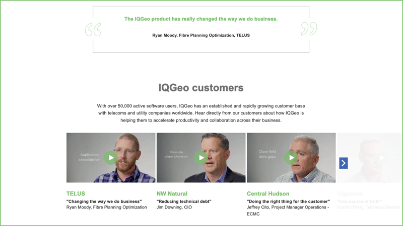
Visit the customer stories page to how IQGeo is helping them to reimagine the role of geospatial software.
Copyright © 2025 , IQGeo Group. IQGeo is a registered ® trademark