
Video demo
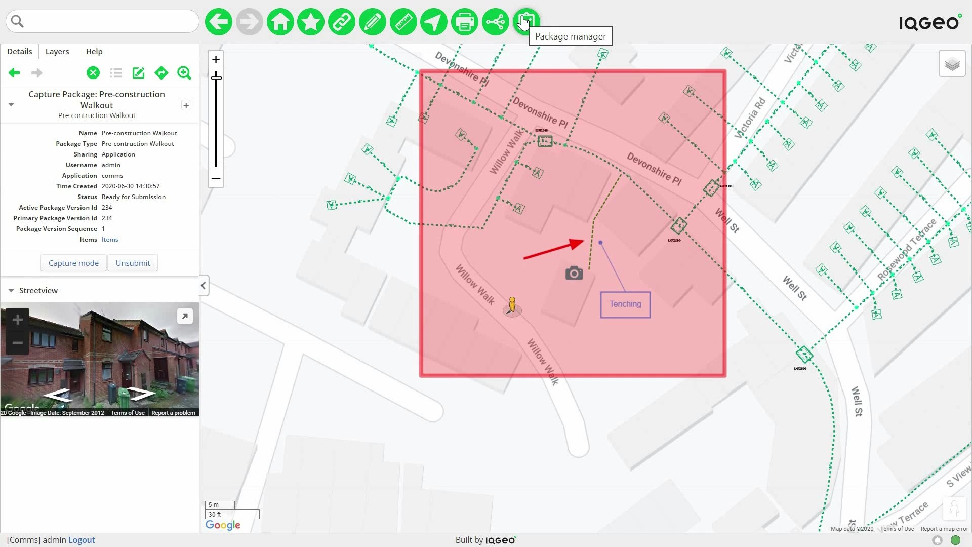
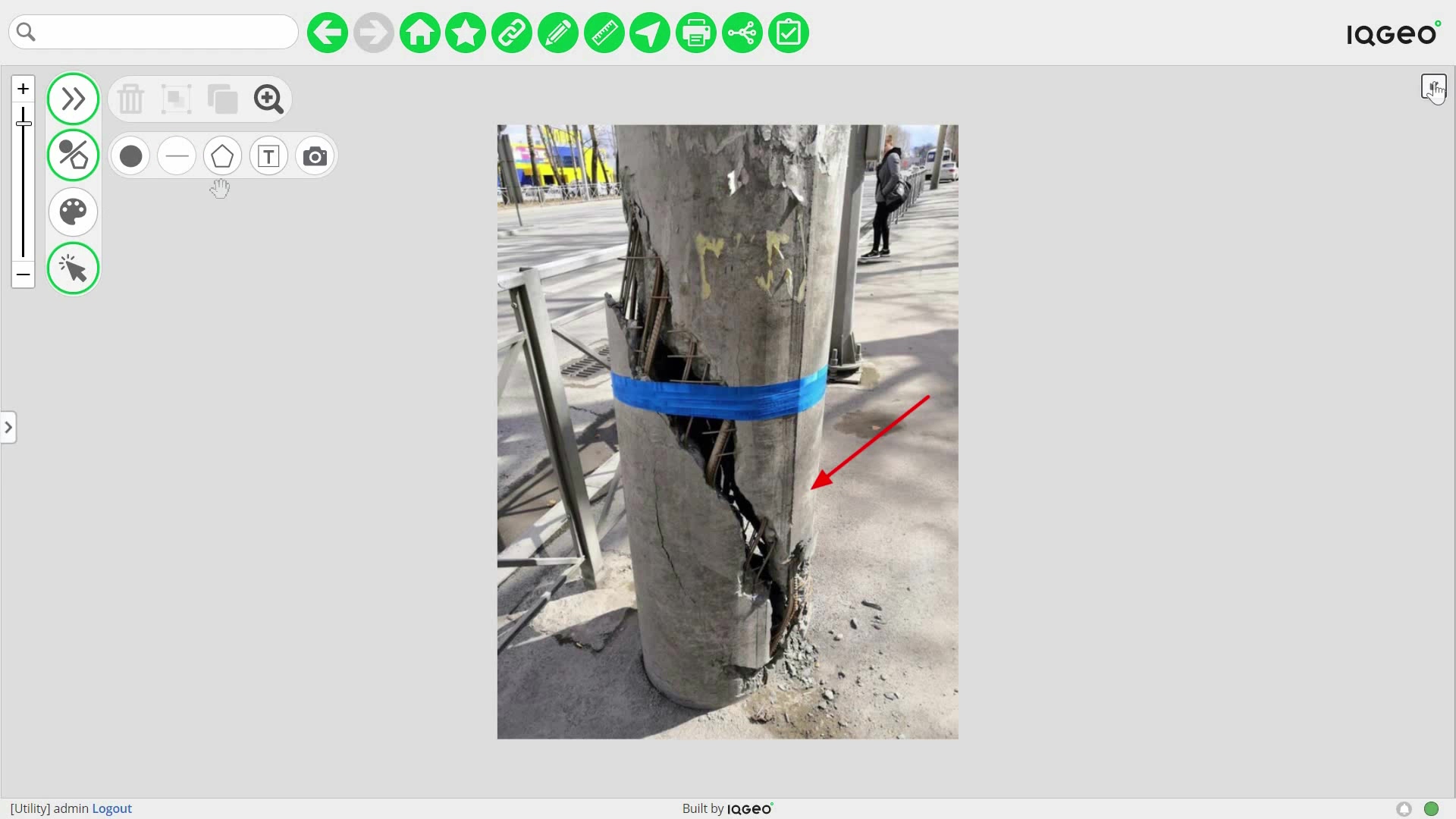
A quick scenario to show you how easy it is for telecom field crews to capture data in the field.
Video demo
A quick scenario to show you how easy it is for utility field crews to capture data in the field.
Video demo
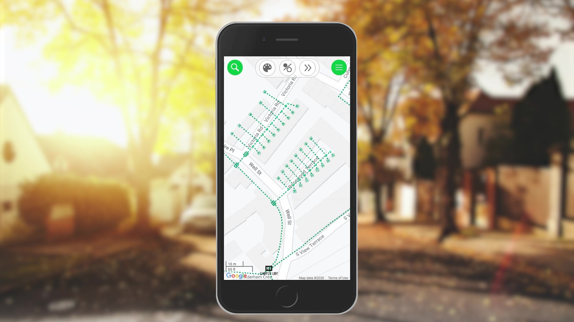
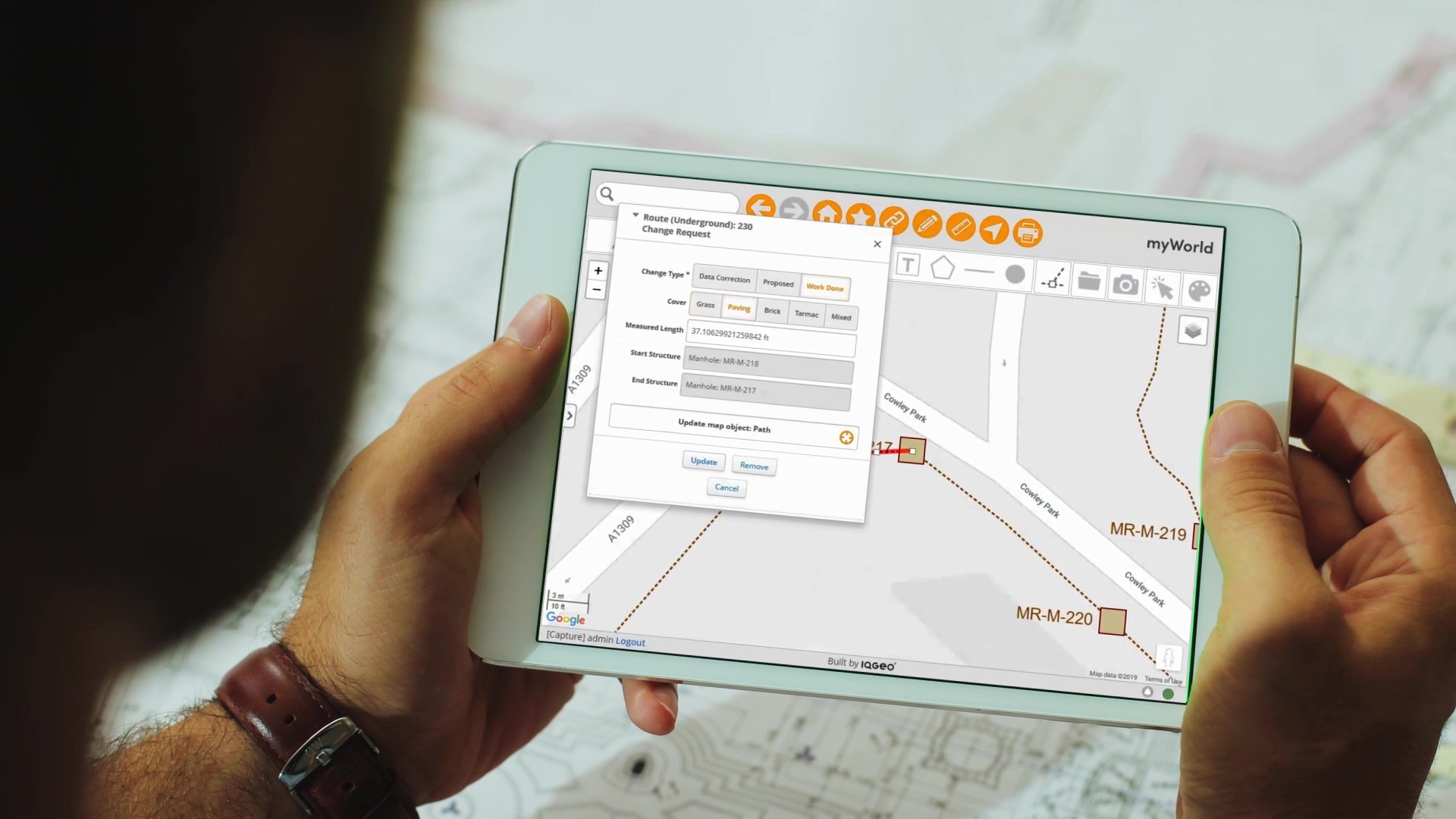
Field service and construction teams must be able to easily query and view network assets on their mobile devices, closing the data gap between field and office and improving operational productivity and collaboration.
Video library
IQGeo’s geospatial software accelerates productivity and collaboration across enterprise sales, planning, design, construction and maintenance processes for telecoms and utility network operators.
The industry's most flexible and comprehensive geospatial solution to accelerate network planning, design and time to revenue from a single platform.
See it in action!

