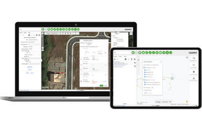
A modern geospatial solution that transforms grid operations by integrating digital workflows with your network model, from the office to the field.
Flexibly build, maintain and update your network model as it exists in the real world.
Quickly build and deploy digital workflows that are integrated with your network model.


Access and manage your grid data across the enterprise by integrating operational and asset data into a single geospatial view of your network, because today’s complex networks require more than paper-based mapping.
Quickly iterate your network model without requiring a return to state zero. Whether adding new assets or editing existing assets, users can visualize and add new features in minutes instead of months.
Our model allows the network and assets to be modeled where they truly exist in the field and the offset visualizations allow users to still visualize overlapping items, bridging the gap between containment models and placed models.
Digitalize the round-trip design process, including as-builts, with the help of native mobility. Reduce your lead times from design to as-built and improve data accuracy.
Easily view and execute your inspections and surveys, from pole inspection to aerial right-of-way (RoW) inspections.
Accurately track, manage and restore outages in the field through a common mobile view of the network, integrated with your ADMS.
A single mobile application across the lifecycle, connecting every team and back-office system into a single geospatial view to streamline field work.

Take your network to the field - Field teams and contractors can view your network model in the field and make real-time updates that sync with the back office.
Execute from anywhere - On any device, online or offline, with any updates automatically syncing when service resumes.
Whether in the office or the field, our award-winning software provides a single system across your grid lifecycle, from initial network design to ongoing operations.
We recognize the challenges and complexity of deploying new IT applications across your utility. Together, we will devise a pragmatic, phased deployment plan to seamlessly transition to the IQGeo software, ensuring a smooth and efficient onboarding process that provides value to end users quickly.
 |
 |
 |

The “GIS hammer” won’t fix your network model management problems
IQGeo software serves vital role in Tennessee storm aftermath
From staking and design to asset inspections: digitalizing network model workflows
More efficient inspections for electric utility assets
Copyright © 2025 , IQGeo Group. IQGeo is a registered ® trademark